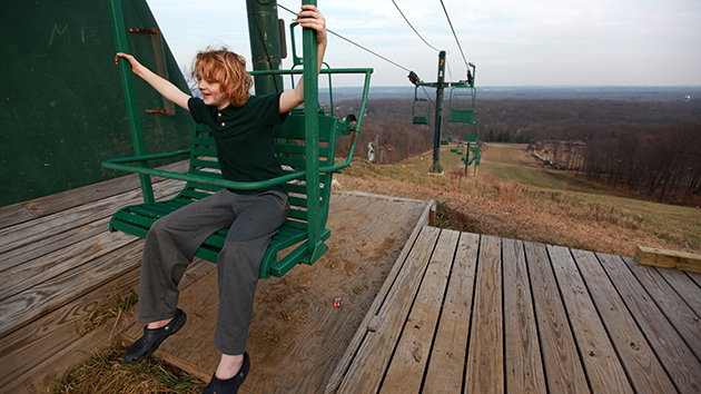
A ski lift, but no snow, at Campgaw Mountain Ski Area in Mahwah, New Jersey.Kevin R. Wexler/Northjersey.com via AP
This story originally appeared in the Huffington Post and is reproduced here as part of the Climate Desk collaboration.
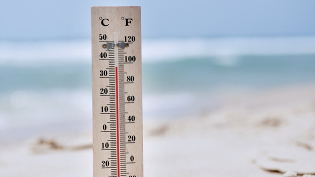
The weather’s been positively toasty across much of the East Coast over the past several days, especially for a December. In New York, Sunday temperatures shattered a 30-year-old record, hitting 70 degrees Fahrenheit. And the month has been chock-full of 60-plus days.
So what’s going on? Is this a climate change thing, or a welcome boon from the ongoing El Niño tropical weather event? The answer actually lies with a buzzword from 2014’s equally extreme temperatures: the polar vortex.
Mike Halpert, deputy director of the Climate Prediction Center at the National Weather Service, said last week the band of cold air surrounding the arctic—called the “Arctic Oscillation“—is particularly tight right now. During the polar vortex, pressure changes in that band of air caused it to slow and slip down towards America, bringing with it a wave of Arctic air that led to well below zero temperatures.
This time around, all of that frigidity is being kept north, causing the far more pleasant temperatures experienced around the east coast.
Meanwhile on the West Coast, a series of storm systems is expected to bring more rain and cover the Northwest and Rockies with snow this week.
In terms of El Niño, weather patterns could certainly shift as the phenomenon is expected to continue through early 2016. But the weather event isn’t to blame, despite forecasts it would lead to a particularly warm winter for some parts of the United States.
Some meteorologists have warned the Arctic Oscillation could slip as winter carries on, leading to a sudden downturn in temperatures. But if you’re holding on to hope for a white Christmas and some skiing over the holiday break, you’ll have to tough it out. The weather will be as fickle as always.
